World of O News
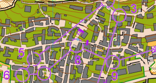
Today we have a very special leg from the Norwegian Youth championships for 14 year old in Route to Christmas. A very tricky leg for the young runners – really something to grow on! What would you do with this kind of challenge in unknown terrain?
Thanks to Arild Andersen for the tip – and to Snorre Veggan who has a nice write-up (in Norwegian) about the leg here. From Snorre’s analysis, the following can be useful when evaluating the route:
After the preparations the day before, there was no doubt that path should be chosen when possible. But for a 1 km long leg across a big lake, many considerations had to be done at the same time.
The leg is as usually first provided without routes – you may take a look at it and think about how you would attack this leg (if the image is too small, you may click on it to get it larger):
![]()
Location
You find other maps from the area in omaps.worldofo.com here. See also latest additions in 3DRerun from this area in order to learn more about this terrain type.
Webroute
Next you can draw your own route using the ‘Webroute’ below. Think through how you would attack this leg, and draw the route you would have made. Some comments about why you would choose a certain route are always nice for the other readers.
Then you can take a look at how the runners have solved this leg below (note that runner names are omitted as these are young runners). As you can see, this was a highly tricky route for many of the runners. Clearly the best is to back out of the control a bit and then run around to the right, but it is quite tempting to run to the left. But with all the broken terrain to the left you either have to run far around the cliffs (around 2000 meters; right is 1500 meters), or have som tricky up-and-down climbing on the straight route from the end of the lake and over to the control (still around 1500 meters, so the same length as going right). And of course, there are lots of opportunities to get lost on the alternatives to the left …
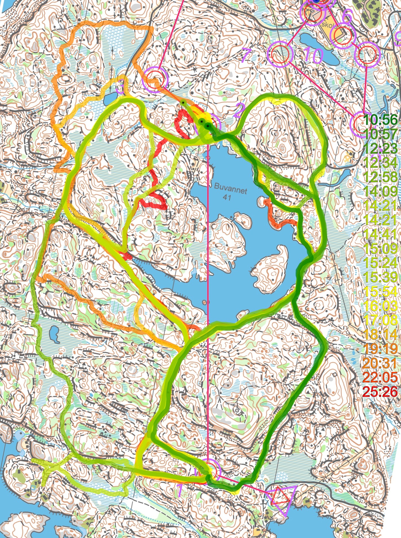
Here is a comparison between a left (2000 meter) and right (1500 meter) variants:

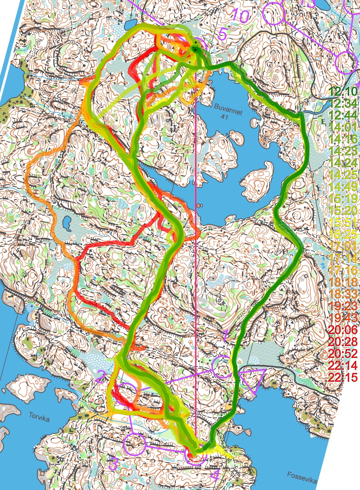
Also interesting is the slightly longer leg for the 16-year-old boys:
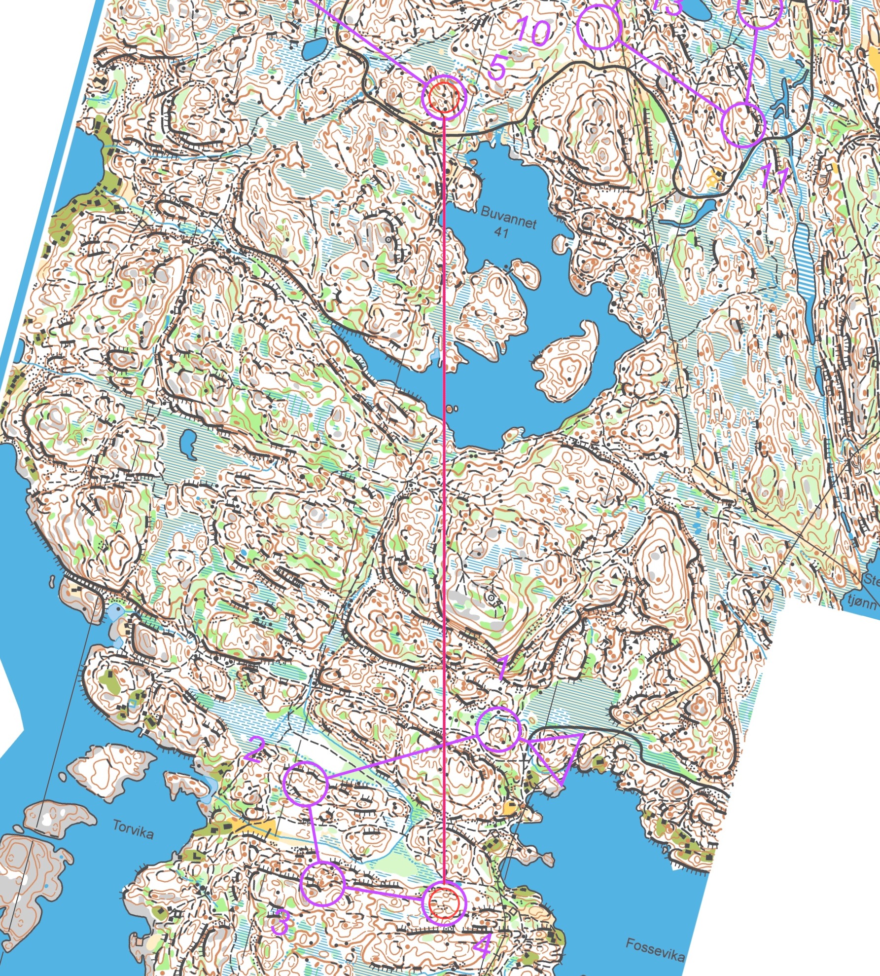
Here right looks more obvious from the map (and is still significantly faster), but still only a few of the runners chose the rightmost variant. The fastest runner going left only loses around 30 seconds, though.

Density map
See below for a density map of some of the ones who have drawn their routes so far.
![]()
Additional information
You find the complete map in omaps.worldofo.com at this location.
Route to Christmas series
The Route to Christmas series is a pre-Christmas tradition at World of O – giving the readers the opportunity to do one Route Choice Challenge each day from December 1st until December 24th. If you have got any good legs in GPSSeuranta or 3DRerun from 2018-competitions – or old forgotten ones which are still interesting – please email me the link at Jan@Kocbach.net, and I’ll include it in Route to Christmas if it looks good. Route to Christmas will not be interesting if YOU don’t contribute.
Not all legs are taken for the interesting routechoice alternatives – some are also taken because the map is interesting – or because it is not straightforward to see what to do on a certain leg. Any comments are welcome – especially if you ran the event chosen for todays leg!