 World of O News

4 years ago MapAnt Finland was released – last week MapAnt Norway was released in a beta release: A gigantic orienteering map covering lots of extraordinary orienteering terrain which has never been mapped for orienteering before. Dive in and enjoy the wonders of Norway!
You find MapAnt Norway here:
Note that MapAnt Norway is a beta release, still in very active development. It was decided to release it ahead of the holiday season instead of waiting until it is perfected. There are many holes in the coverage, bugs in rendering, and errors in data. Even though it’s not perfect yet, it’s still usable in many parts of the country. There is also a Facebook group (mainly Norwegian language) to discuss issues related to MapAnt Norway.
Mapant.no became possible through a collaboration between the Norwegian Orienteering Federation and Statens Kartverk (State Mapping Authority). Terje Mathisen, Jan Kocbach and Henning Spjelkavik have sliced & diced all available Norwegian las-data, FKB-data, and created a pipeline that processed more than 200.000 km² out of the 324.000 km² in Norway. To process the laser data into an orienteering map, the software Karttapullatin by Jarkko Ryyppö was used. In total we’ve used 30TB of disk, and at peak about 200 CPU threads simultaneously. The laser scanning data and the map details (houses, roads, water features++) is delivered by and © the Norwegian municipalities, Geovekst and Statens Kartverk.
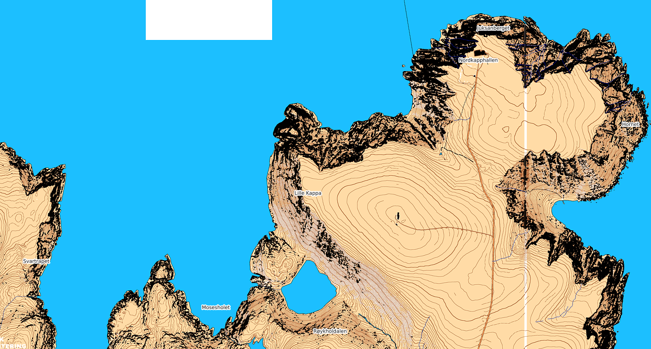
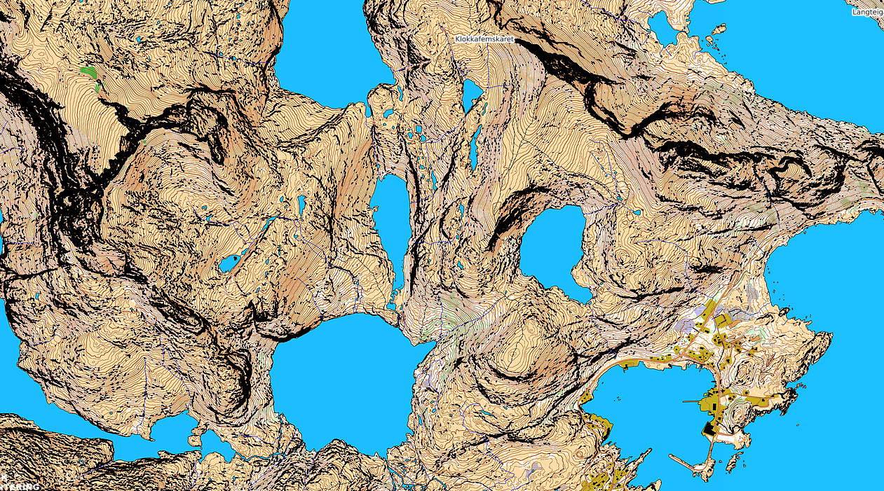
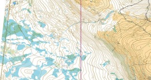
Some interesting and/or touristic areas
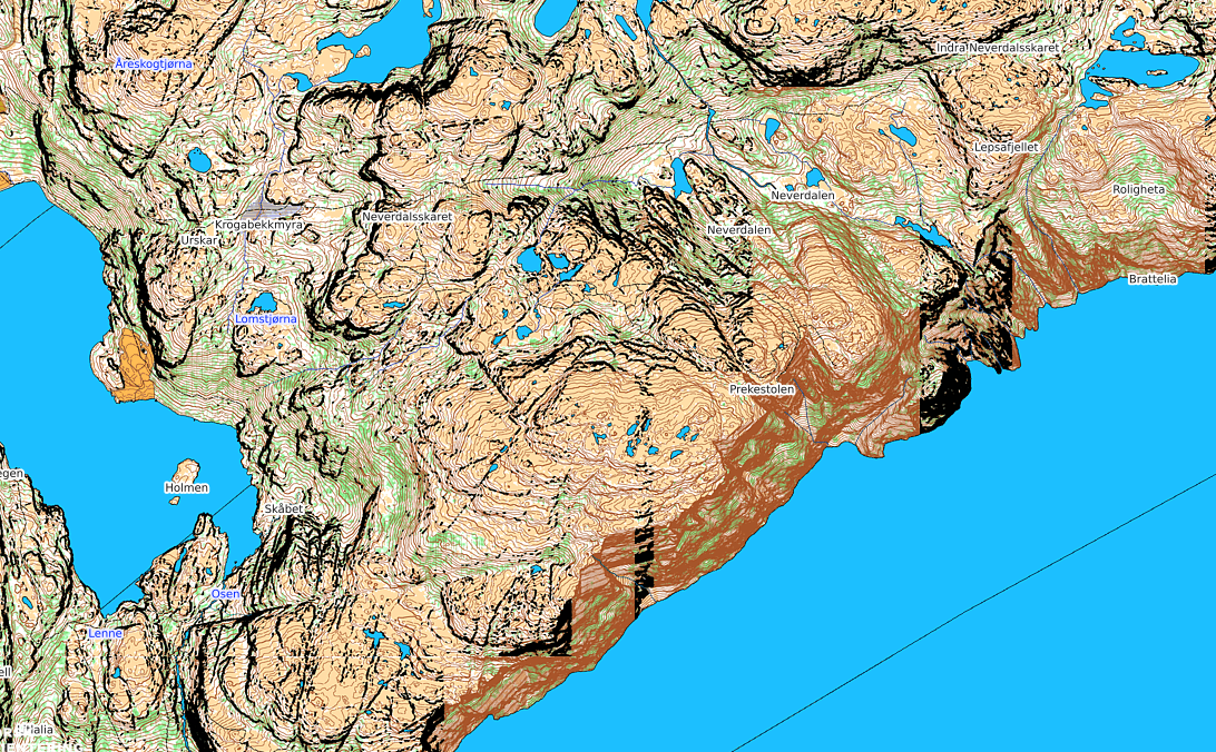
Outside Grimstad (southern Norway):

Do you find any other interesting places in Norway? Add a comment below with link to your favourite place where you want to try out orienteering or enjoy the nature with orienteering map in hand!


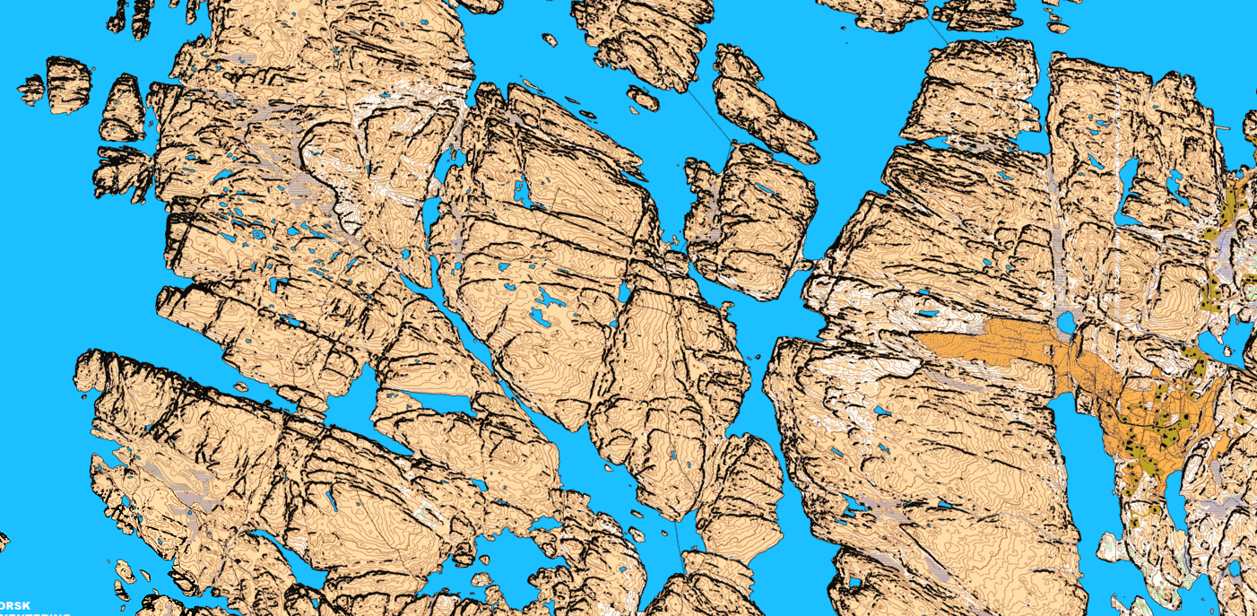
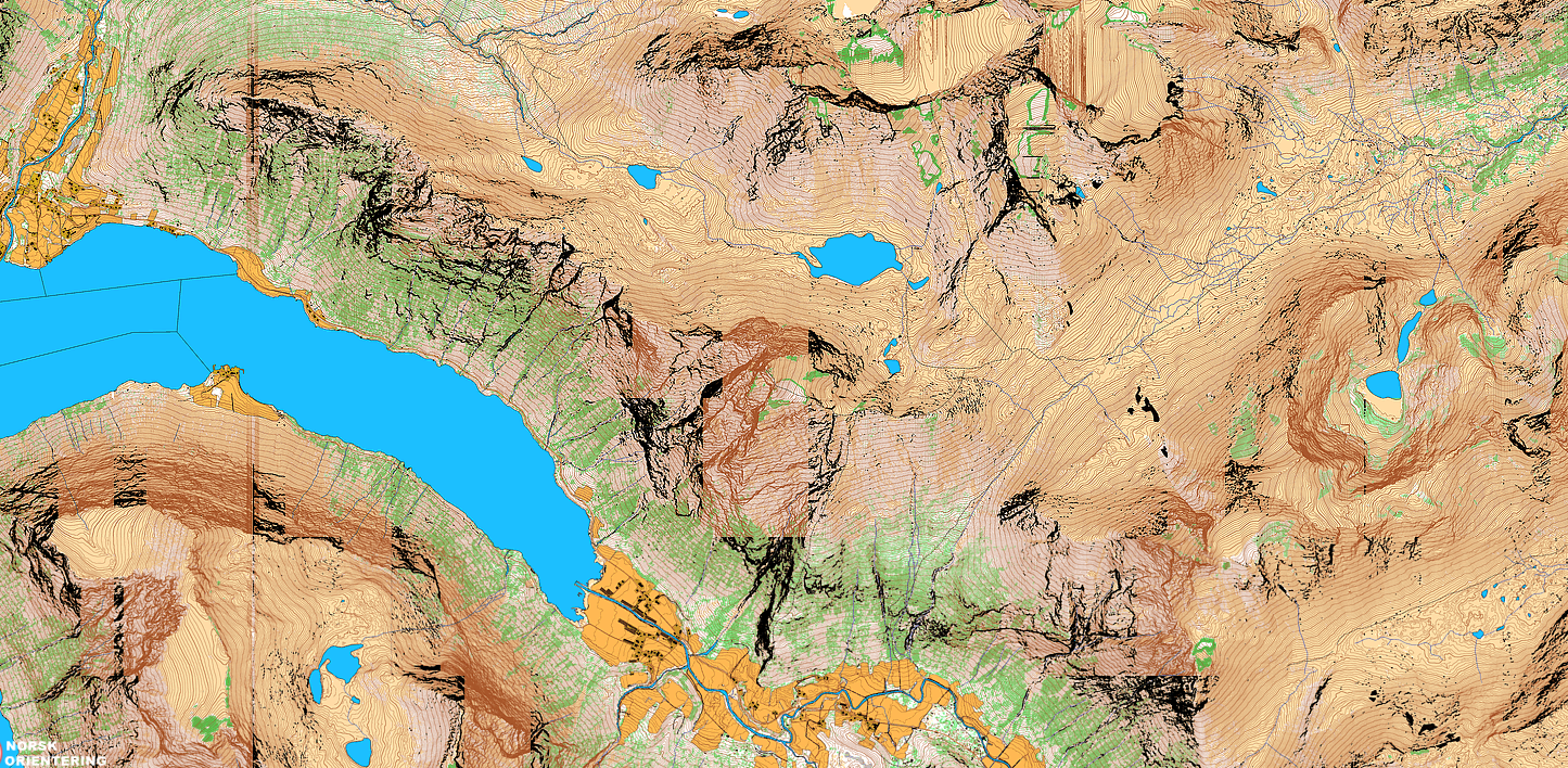
Strange area east of Svelgen in Sogn og Fjordane (Vestland) https://mapant.no/#7/61.782/5.419
Very strange indeed! The cliff rendering have failed on many of these tiles, but when we disregard this it still looks like a huge area where old sedimentary rock layers have been forced up and folded into a 20-30 degree angle, which the glaciers then have abraided?
Thanks, is/will mapant be available in WMS?
@Harald: Not available yet, but will probably be some time in the future.