 9914 maps from 7 countries is what you will find in World of O Maps at its official release today. Countries included are Austria, Czech Republic, Estonia, Great Britain, Norway, Slovenia and Switzerland. I am still waiting for maps from a few more federations, including Slovakia and Hungary – and I am working together with a few more to get even more maps inserted.
Contents and updates
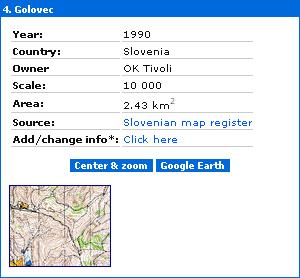
Since the initial beta testing of WoO-Geo started, Estonia is added (about 1200 maps), a few hundred Norwegian maps have been added, the Swiss maps have been updated and Slovenian map images have been added.  In the image to the left, you see an example of an embedded map image for Slovenia. When you click the small map image in World of O Maps, you get to see a larger map image.
Additions and changes
You will quite soon be able to add your own maps, and change information for the maps included in the map register. You can already now go to the “Add map” page (or change map info) and see how easy it is to add/change information for a map, and which fields are available. I am very interested in feedback on which fields should be available for description of a map. I am sure I have forgotten some. So please take a look, and give me feedback. It will also be possible to bulk upload maps (for more than 10 maps at once) using a special simple file format.
Changes for maps from countries which have an official map register will be sent to the country in question for confirmation, and deleted if not found appropriate. For some countries, changes will not be possible, as changes have to go through the official map register for these countries.
Take a look at Estonia
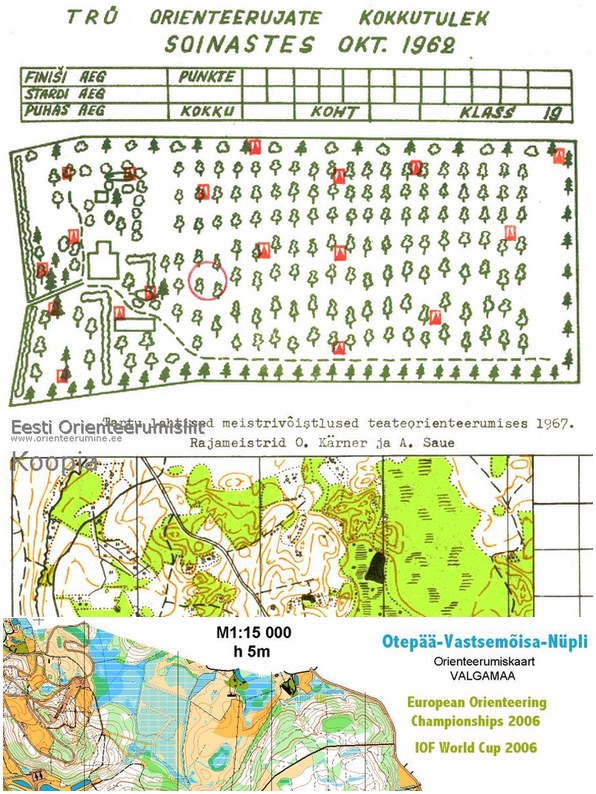
Estonia has one of the best orienteering map registers available – only Czech Republic is in the same league. The neat thing about the Estonian map register is that it has maps going back to the 1960’s (or maybe even earlier?). I first thought this was bad, as I am usually only interested in seeing the newest maps for a certain area. But then I discovered that there are map samples (or for many maps also the complete map) available for most of the maps. Go to Estonia in World of O Maps and explore. Here are some examples:

Quite fascinating for someone interested in orienteering maps, I would say! [If you are really interested in the history of orienteering and orienteering maps, please make sure you take a look at the History of orienteering maps by countries at the IOF Mapping Commision pages and at a czech page entitled The Centre for Orienteering History.]
 Special version for Norway
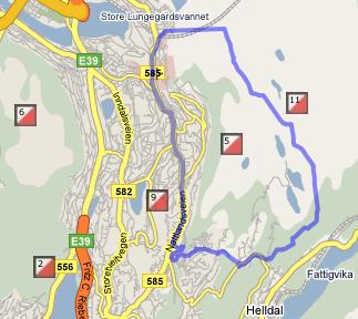
A special version of World of O Maps for Norway has been made together with the Norwegian Mapping Commission. The interface is very similar to World of O Maps, but red dots showing maps are included for another two zoom levels, and the language is Norwegian. For Norway, there are available outlines for almost all maps. These may also be seen in the normal version of World of O Maps.
WoO Geo
With World of O Maps and World of O Calendar, the first two components of World of O Geo have been released (both are still in beta, though – but testing has gotten quite far now). You will still have to wait some time for the remaining components, the people and club databases – and whatever more is needed. The first priority now is to get World of O Maps and World of O Calendar to work flawlessly. Please report any issues you have with these two applications to Jan@Kocbach.net.
More to come
There are some hidden features which I will give more details about later on. A filtering function will be available soon, to make it possible to for example only show maps newer than year 2000. Other features you miss? Please tell me about it.
Links
 World of O News


