 World of O News
 JWOC starts Sunday with Sprint: Expect great live coverage, spectacular scenery and intricate orienteering when the Junior World Orienteering Championships starts in Engadin, Switzerland the coming weekend. After Sunday’s Sprint, the championship continues with Long on Monday, Middle Qualification on Wednesday, Middle Final on Thursday and Relay on Friday.
Central parts of the organizer and course setter team are recently retired or still active world class Swiss Orienteers: Event director is Simone Niggli, technical director is Matthias Niggli and course setters include Matthias Merz, Fabian Hertner, Sara Lüscher and Baptiste Rollier.
More than 300 athletes from 39 nations will be competing – at altitudes between 1150 and 2300 m. The event centre is in Scuol in the Engadin valley. The area is characterised by pine, larch and spruce forest, some semi-open and open areas of varying size. The ground is often covered with grass. There are also some areas with marshes – and the long terrain has quite rough and stony ground.
Read on to find all important details about the championships. If some details are missing, please add a comment or question below.
Program
- Sunday 10/7 09:00-12:30 CET: Sprint
- Monday 11/7 09:00-16:30 CET: Long
- Wednesday 13/7 10:00-12:30 CET: Middle Qualification
- Thursday 14/7 09:00-13:30 CET: Middle Final (A-finals from 10:00)
- Friday 15/7 10:30-12:30 CET: Relay Men. 11:15-13:15 CET: Relay Women
There is no qualification for Sprint and Long. The best 20 in each heat go to the final in the middle distance. See course and terrain details for each discipline further down.
Live services and Links
- There will be live GPS-tracking, live results, live web-TV and LiveBlog from all races. The web-TV broadcast is expected to be of high quality – especially the Middle distance and Relay. Links will be available from jwoc2016.ch
- The JWOC 2016 webpage provides background info, startlists and official results
- JWOC 2016 Team overview – including prior JWOC and EYOC results for the athletes
- Bulletin 4 with all updated info for the races will be available at the JWOC 2015 Bulletin-page Friday 7/3
- LiveBlog: World of O will be responsible for the GPS-analysis part of the organizer’s LiveBlog and analysis articles after each race. Link will be available from jwoc2016.ch.
Courses
Sprint

Course lengths are the shortest feasible route as specified in IOF Foot O Competition Rules.
Terrain form: 1150-1300 meters above sea level, north-south hillside with few steep slopes.
Vegetation: Urban area with grassy public parks; modern part of the town with shopping streets and a thermal bath area; old part of the town with traditional Engadine houses and narrow streets.
Runability: Very good. Shoes with metal spikes and studs are not allowed. Running shoes recommended.
Visibility: Very good.
Paths and roads: Mostly residential area with many paths and roads.
Arena passage: The spectator control is the same as the last control.
Course planners: Urs Jordi and Michael Eglin
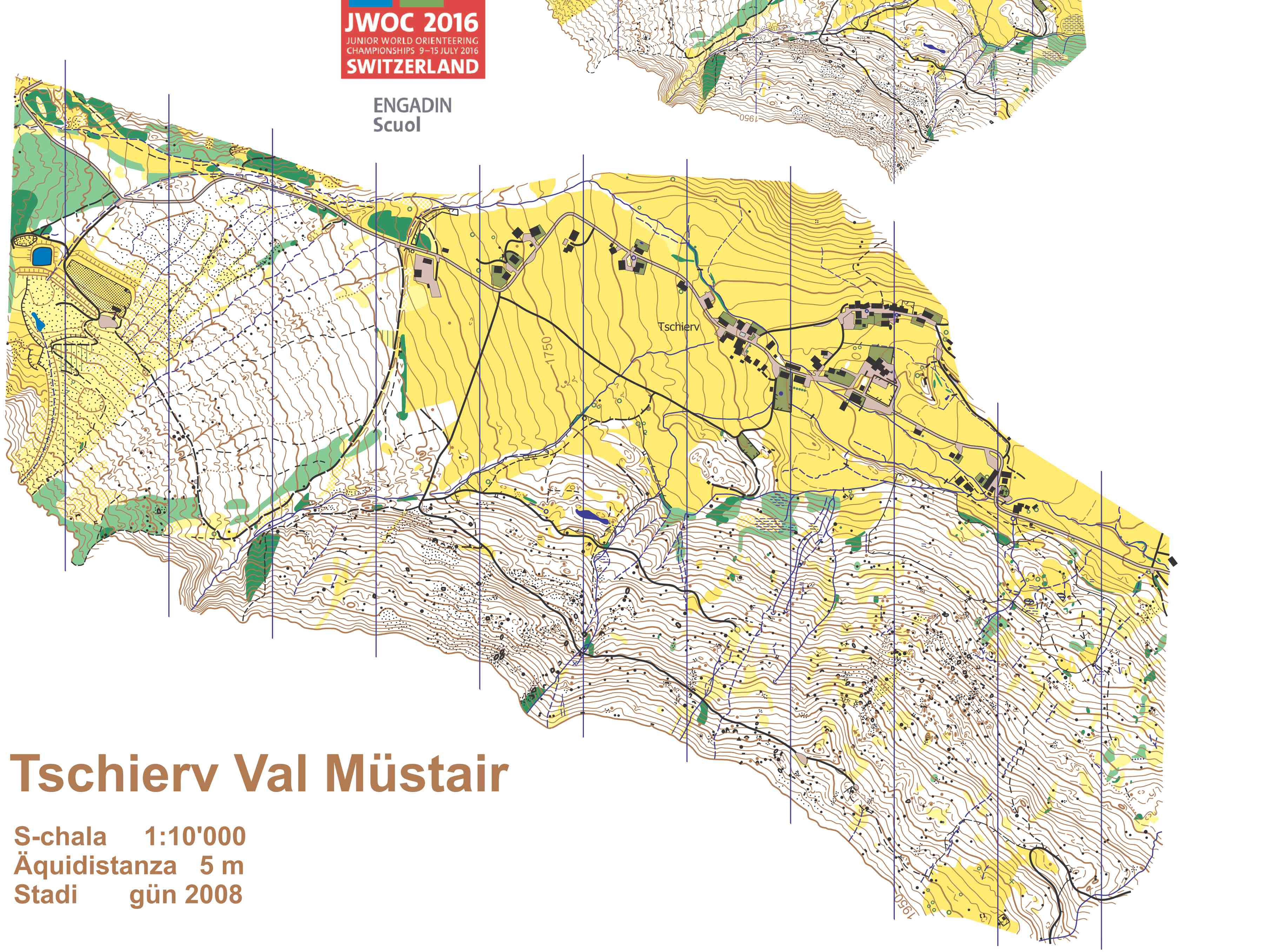
Long

Terrain form: 1900-2300 meters above sea level, hilly area with few very steep slopes. Some areas show very detailed contours.
Vegetation: Pine forest with semi-open sections vary with open areas. The ground is quite rough and in some parts has grassy spaces interspersed with rocks.
Runability: Very good in open areas; good to reduced runability in the forest portions.
Visibility: Very good in open areas and mostly good in the forest parts.
Paths and roads: Few bigger roads and some hiking trails.
Arena passage: M20 have an arena passage after 1/3 of the race with a compulsory leg
Course planners: Fabian Hertner and Matthias Merz
Middle

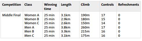
Terrain form: 1350- 1650 meters above sea level on a broken hillside. Some areas have detailed contours and rocky features.
Vegetation: Pine and spruce forest with small open areas and few marshes. The ground is often covered with grass.
Runnability: From good to very good, in few smaller sections runability is reduced because of vegetation and rocky ground.
Visibility: From good to very good.
Paths and roads: Few forest roads cross the terrain.
Qualification: 20 athletes from each heat qualify for the A-final.
Arena passage (final): All athletes have an arena passage.
Course planners: Philipp Sauter and Urs Steiner
Relay
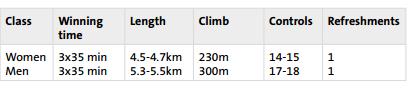
Terrain form: 1440- 1800 meters above sea level on a moderate to steep hillside with some rocky features.
Vegetation: Pine, larch and spruce forest, some semi-open and open areas. The ground is often covered with grass. Only very few parts have thicker vegetation.
Runability: Generally good.
Visibility: Generally good.
Paths and roads: A few forest roads and some hiking trails.
Arena passage: All athletes have an arena passage after about 75% of the race. The end of the compulsory leg is not specially marked, but clear in the terrain. The end of this marked route will be obvious for athletes.
Course planners: Baptiste Rollier and Marcel Schiess
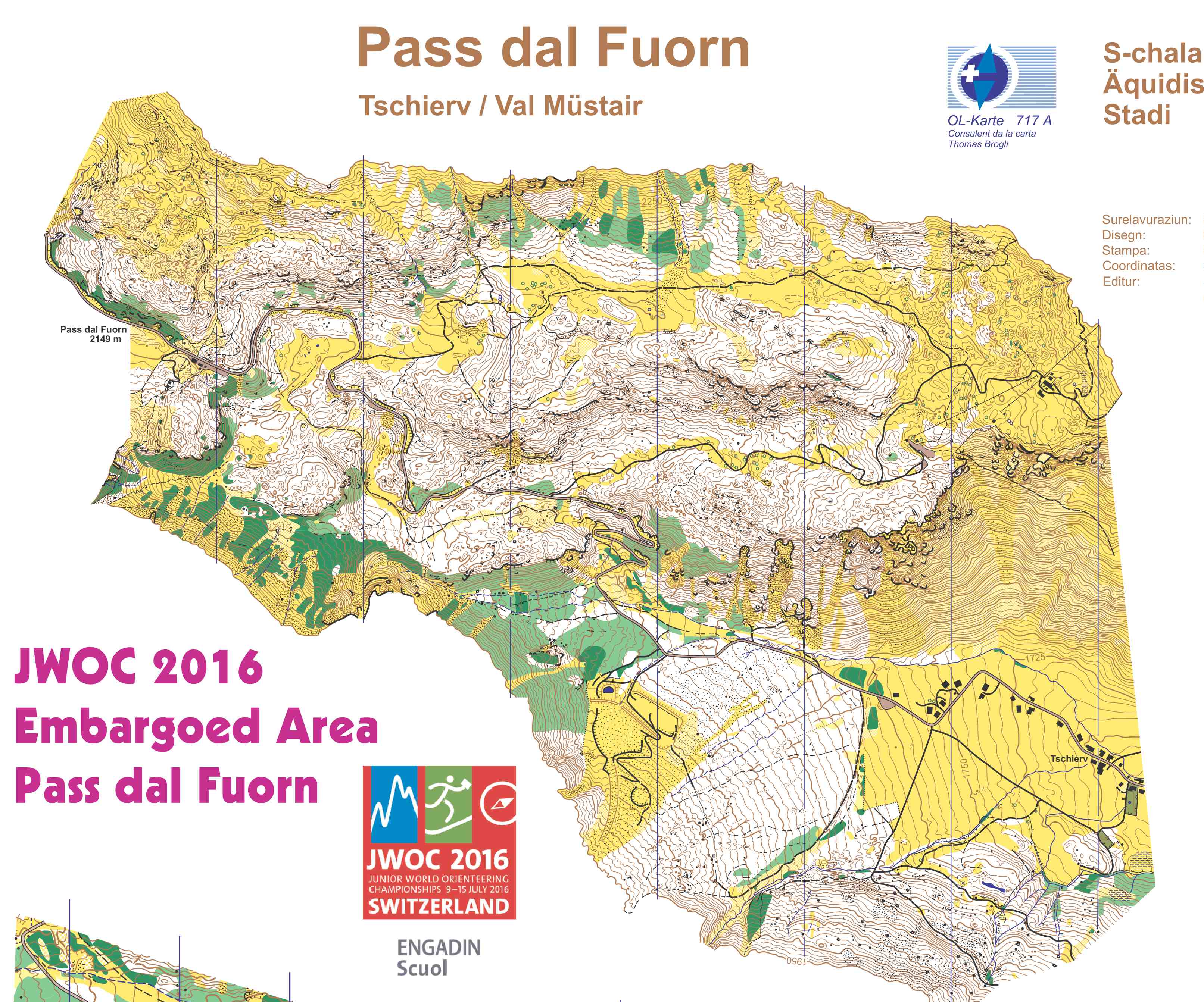
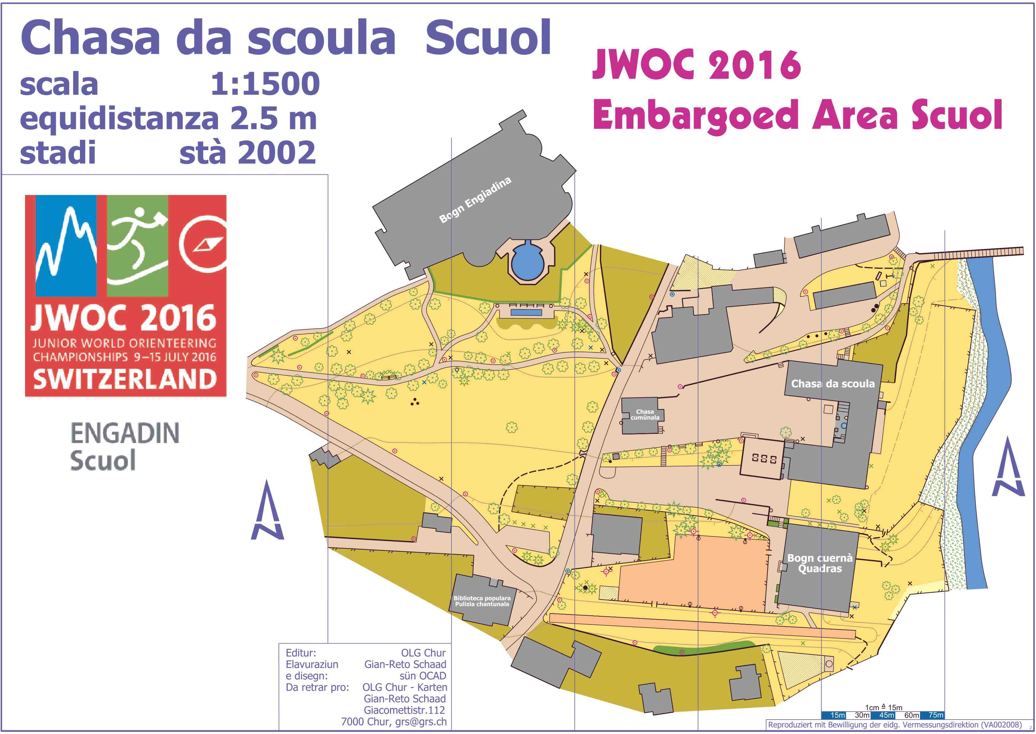
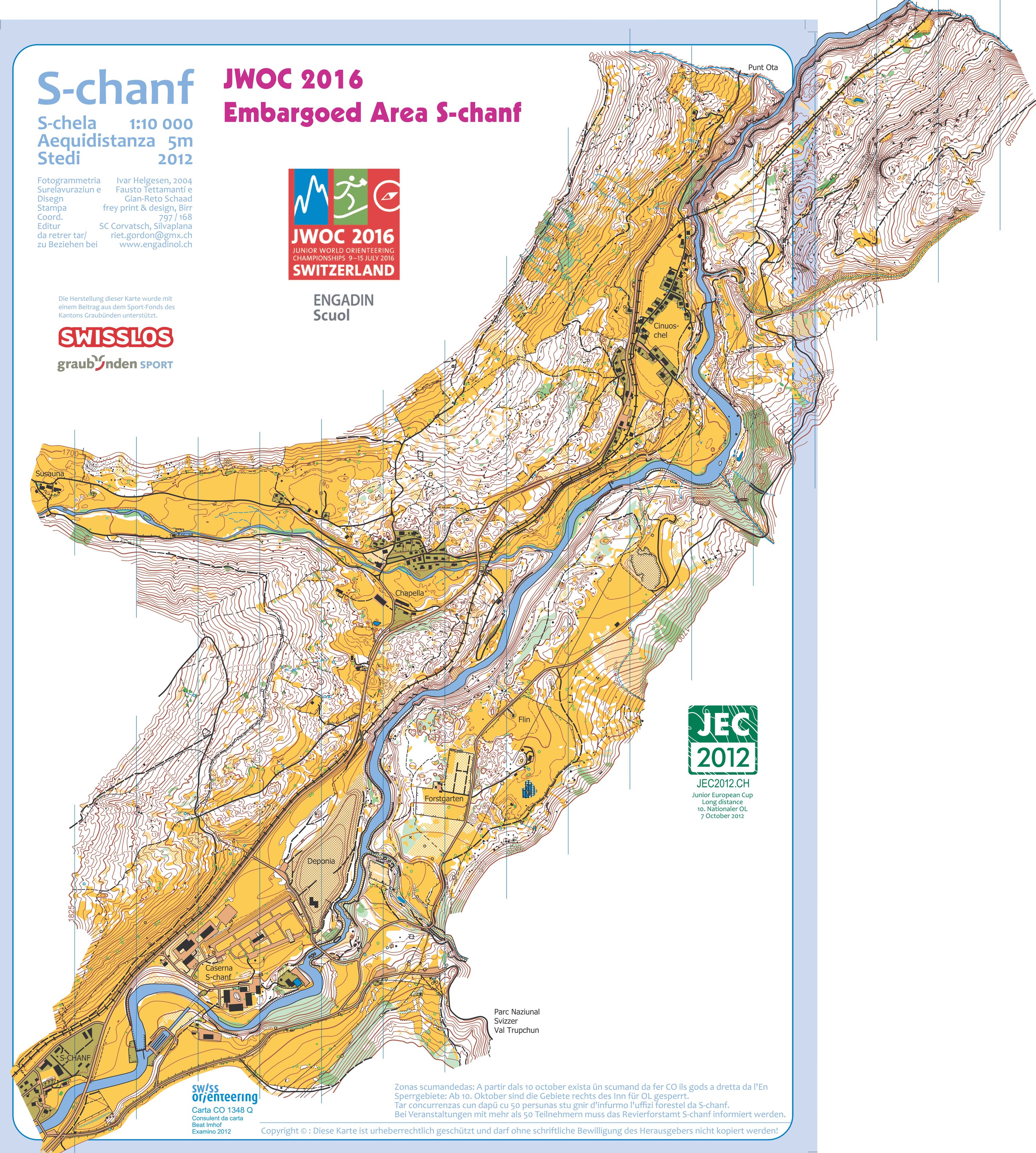
Old maps


No live stream anymore ? Only me experiences this (in Norway)
Same problems in France